TCTrail
Previous Posts
- St John's branch 2
- Kettle Valley - 07 March 2008
- Nashwaak subdivision
- Tormentine subdivision
- Port aux Basques subdivision
- St John's branch
- Whitbourne branch
- Smiths Falls sub 2
- Maniwaki sub 3
- Maniwaki sub 2
Tuesday, July 29, 2008
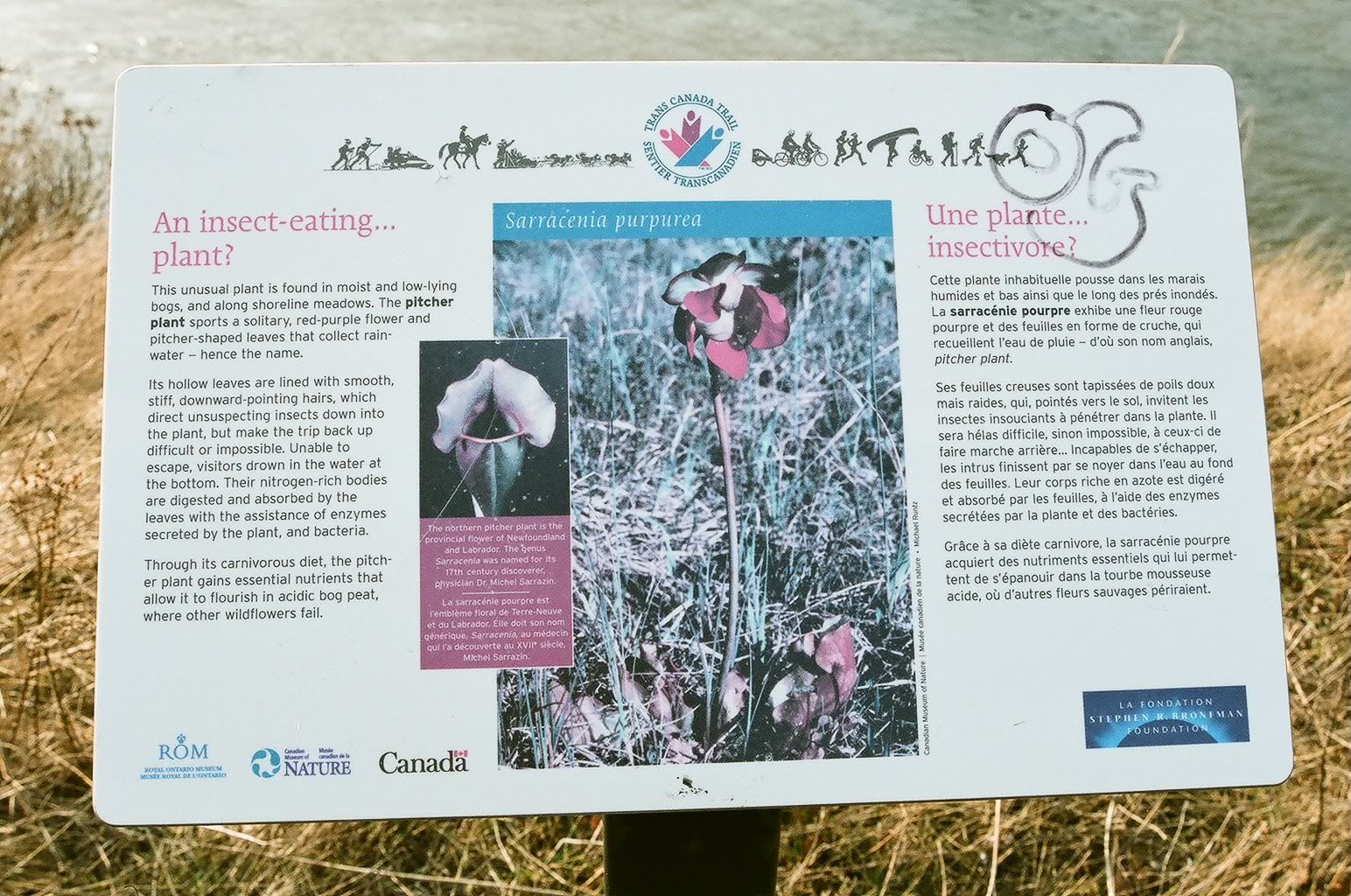
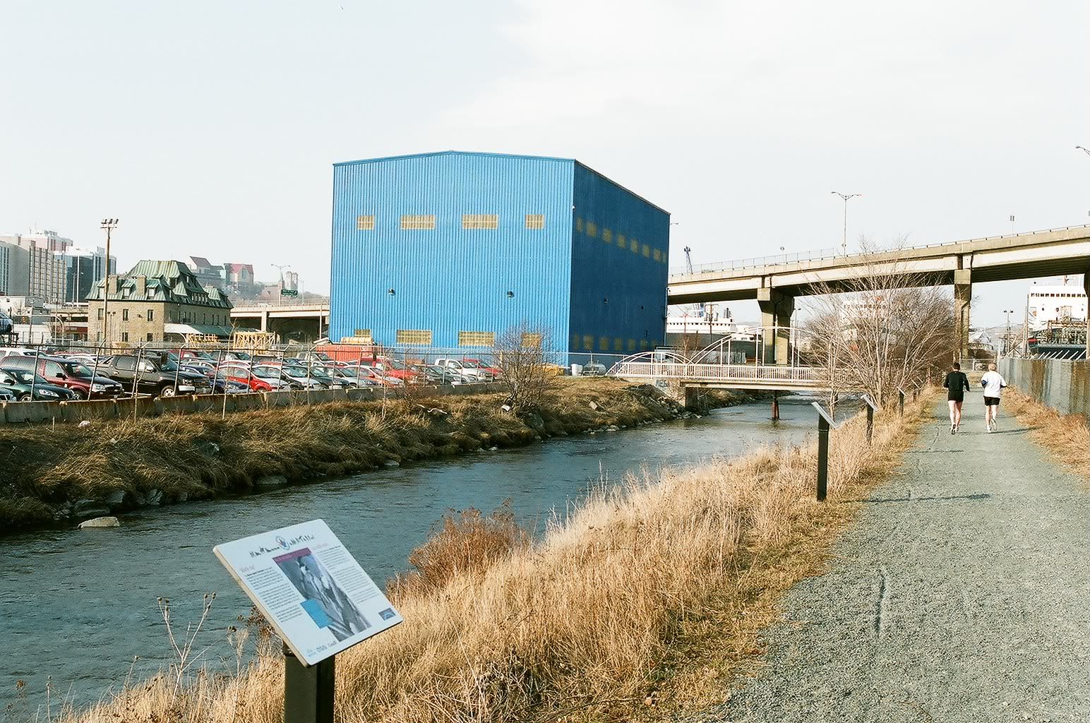
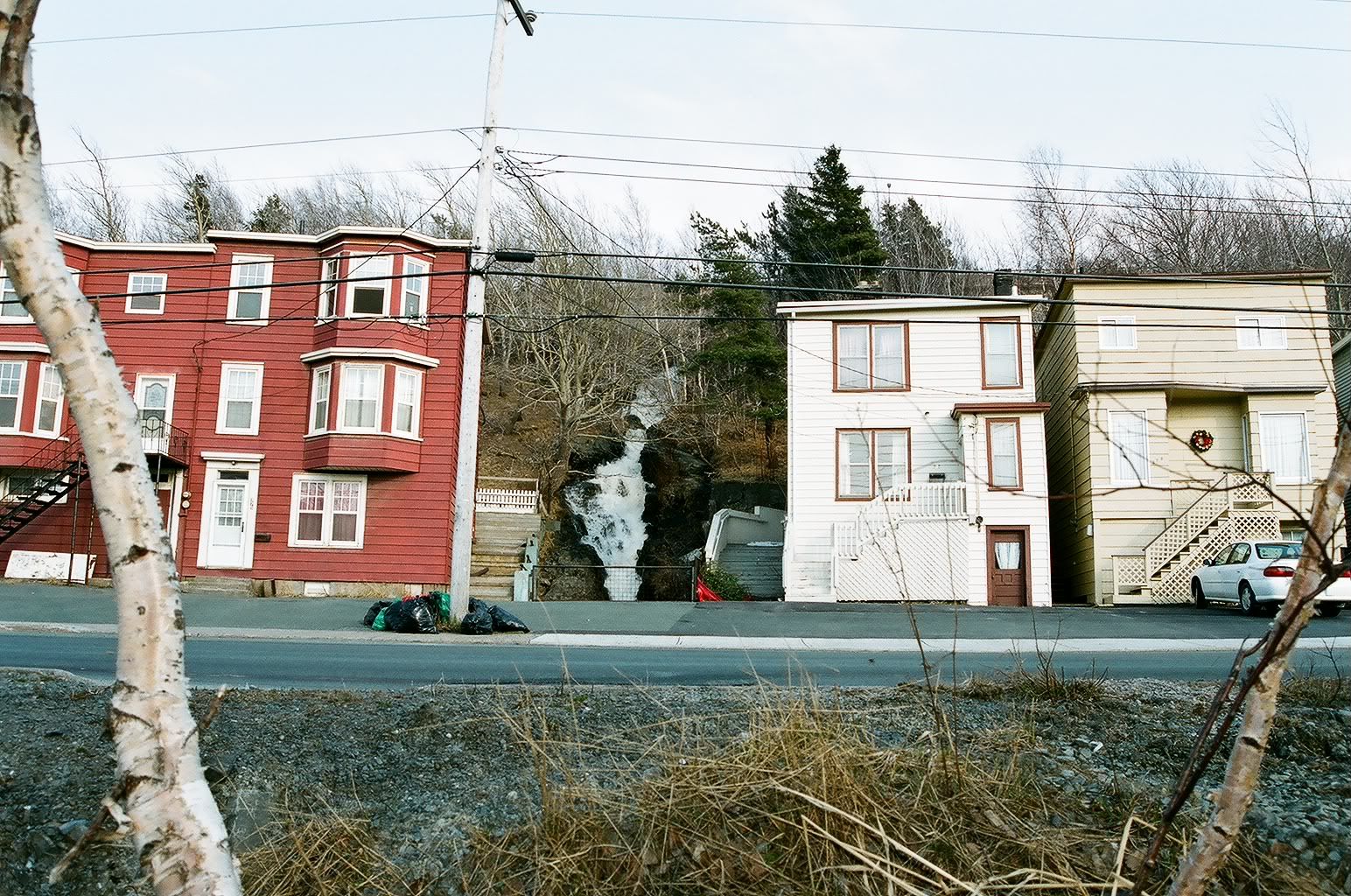
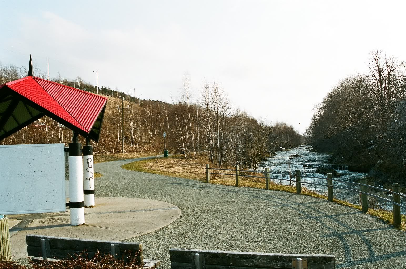
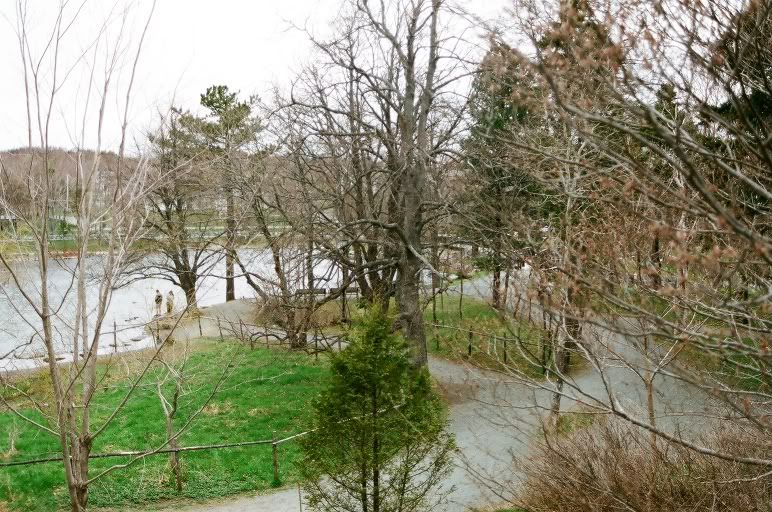
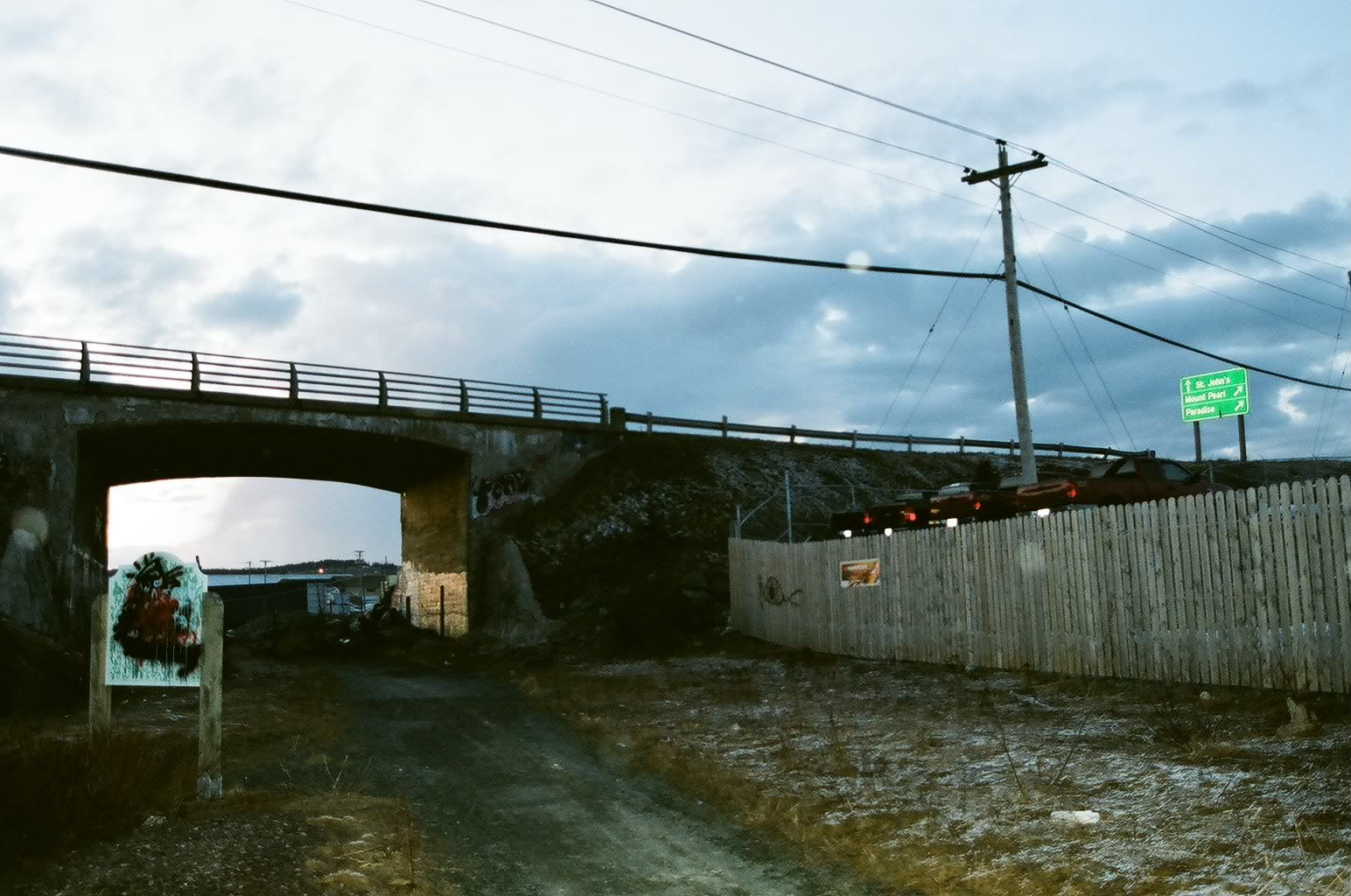
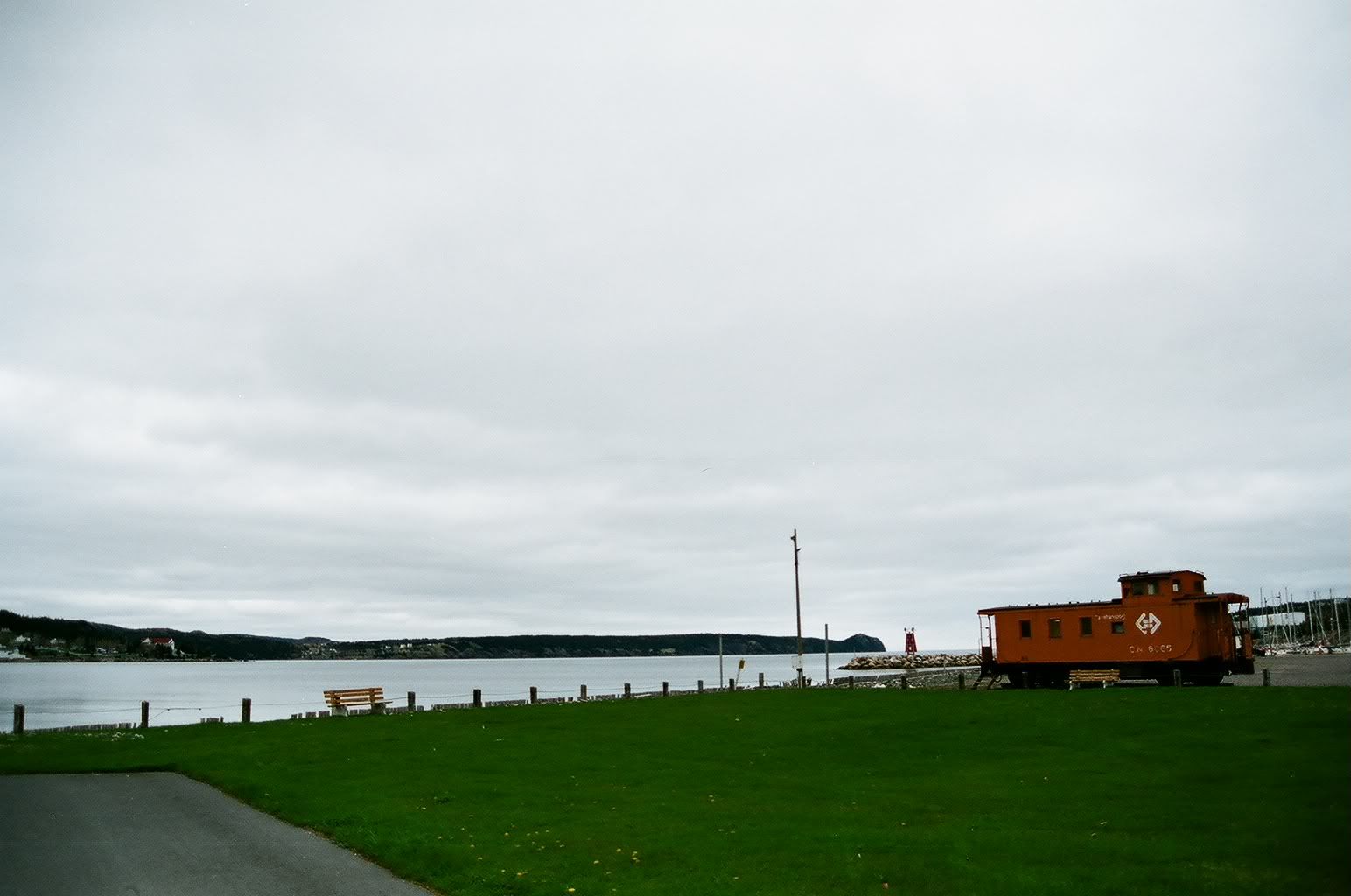
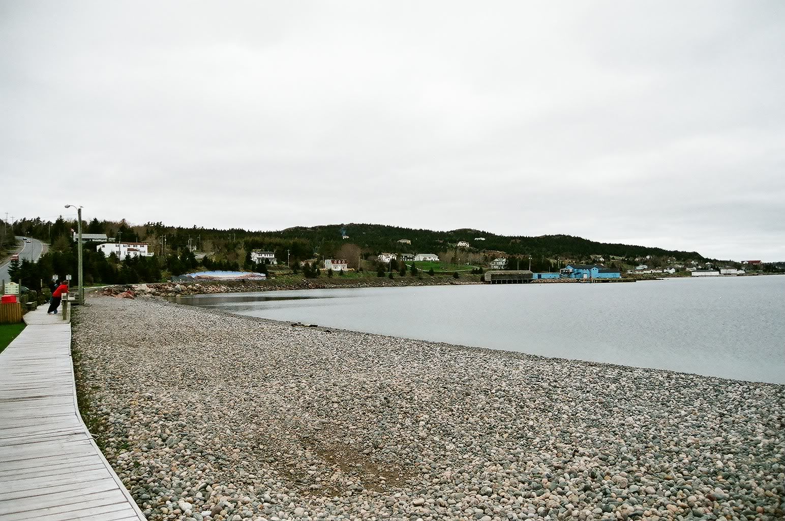
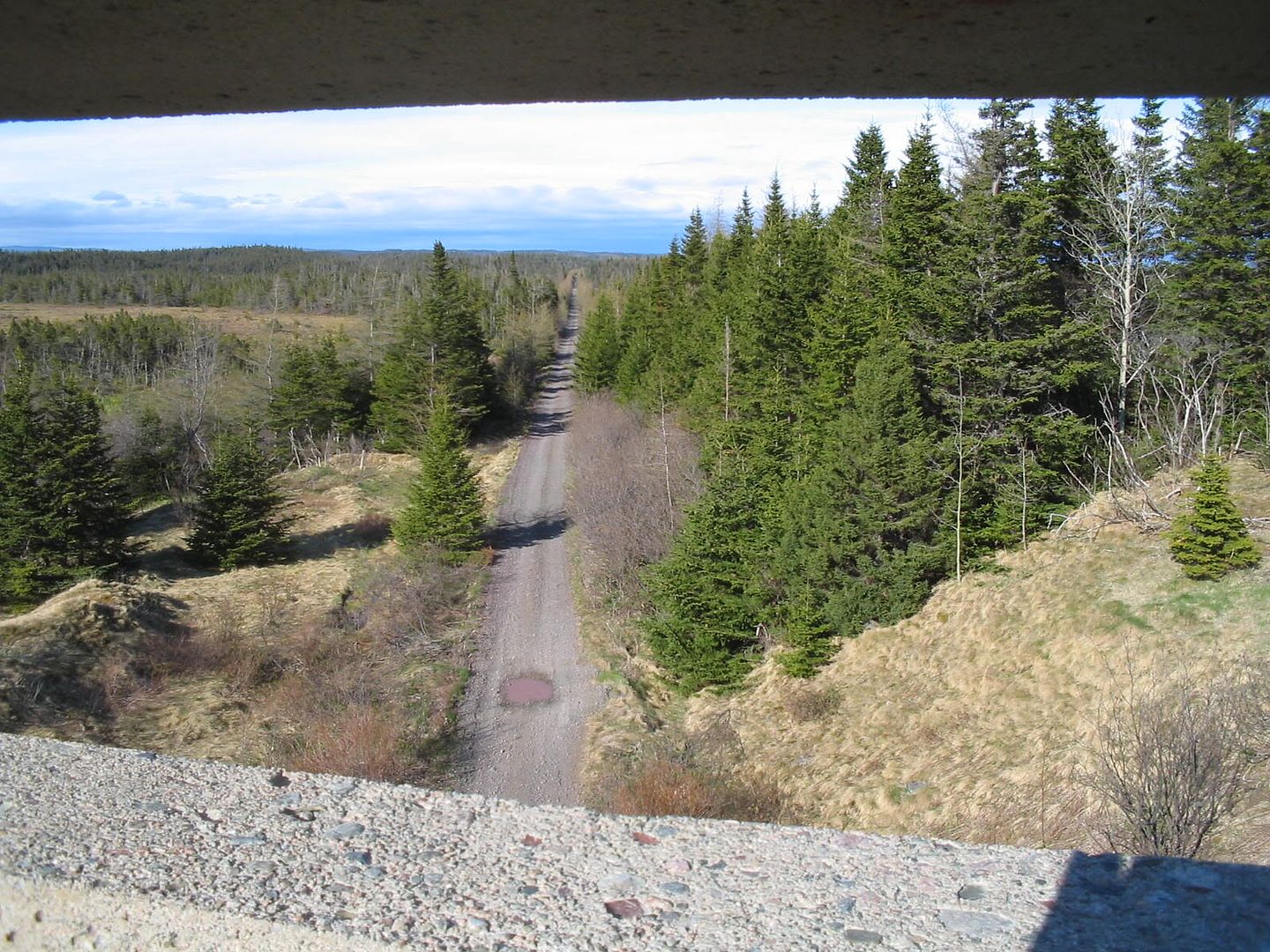
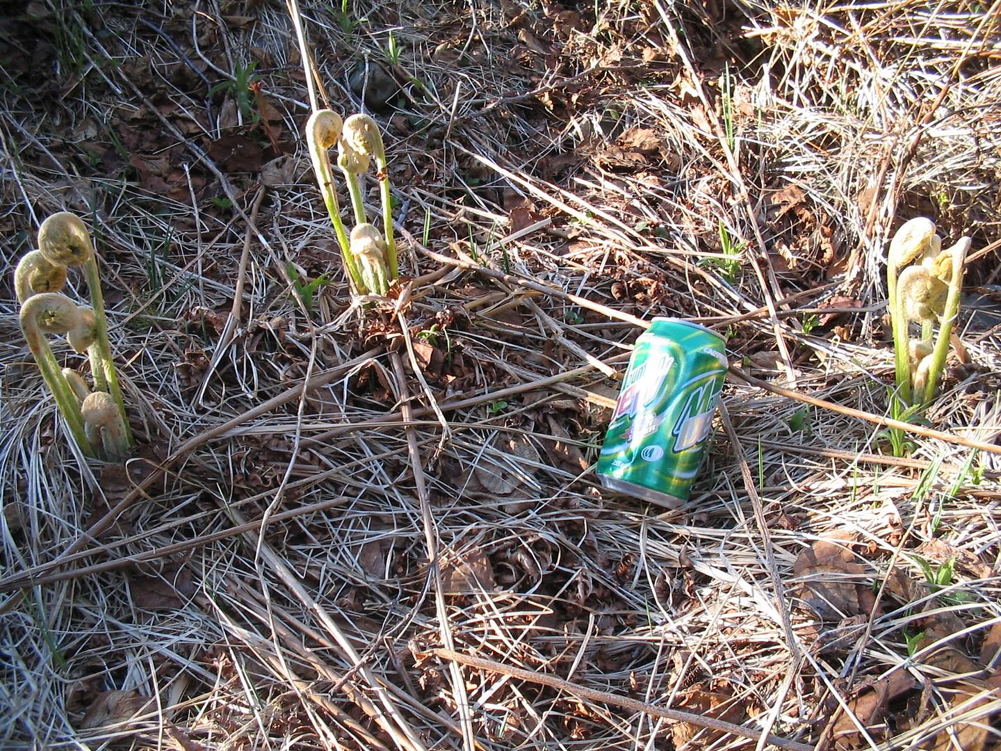
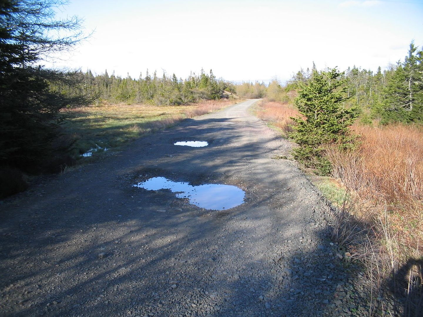
St John's branch 2

Monday, July 28, 2008
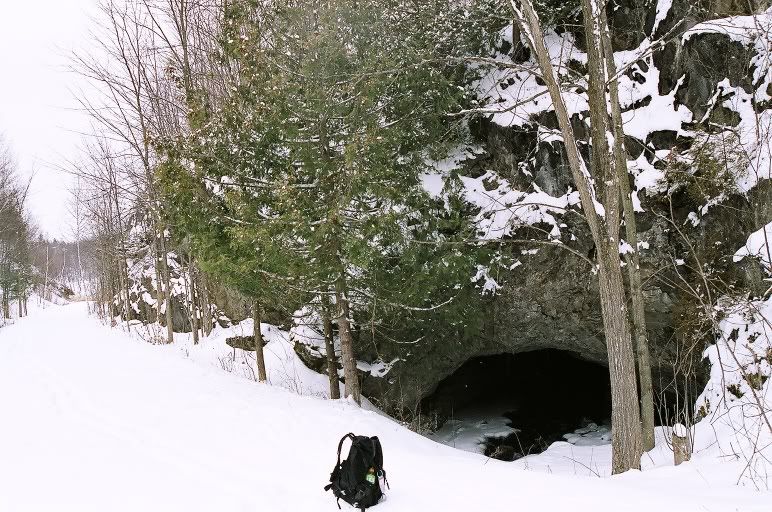
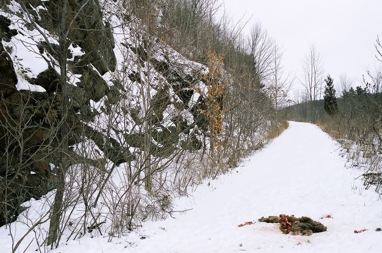
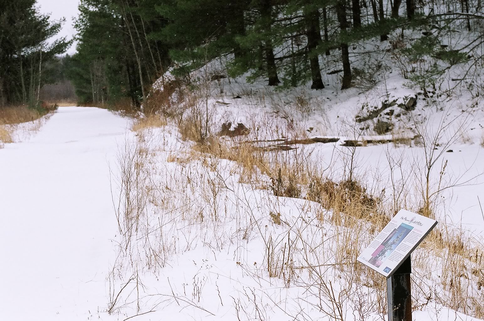
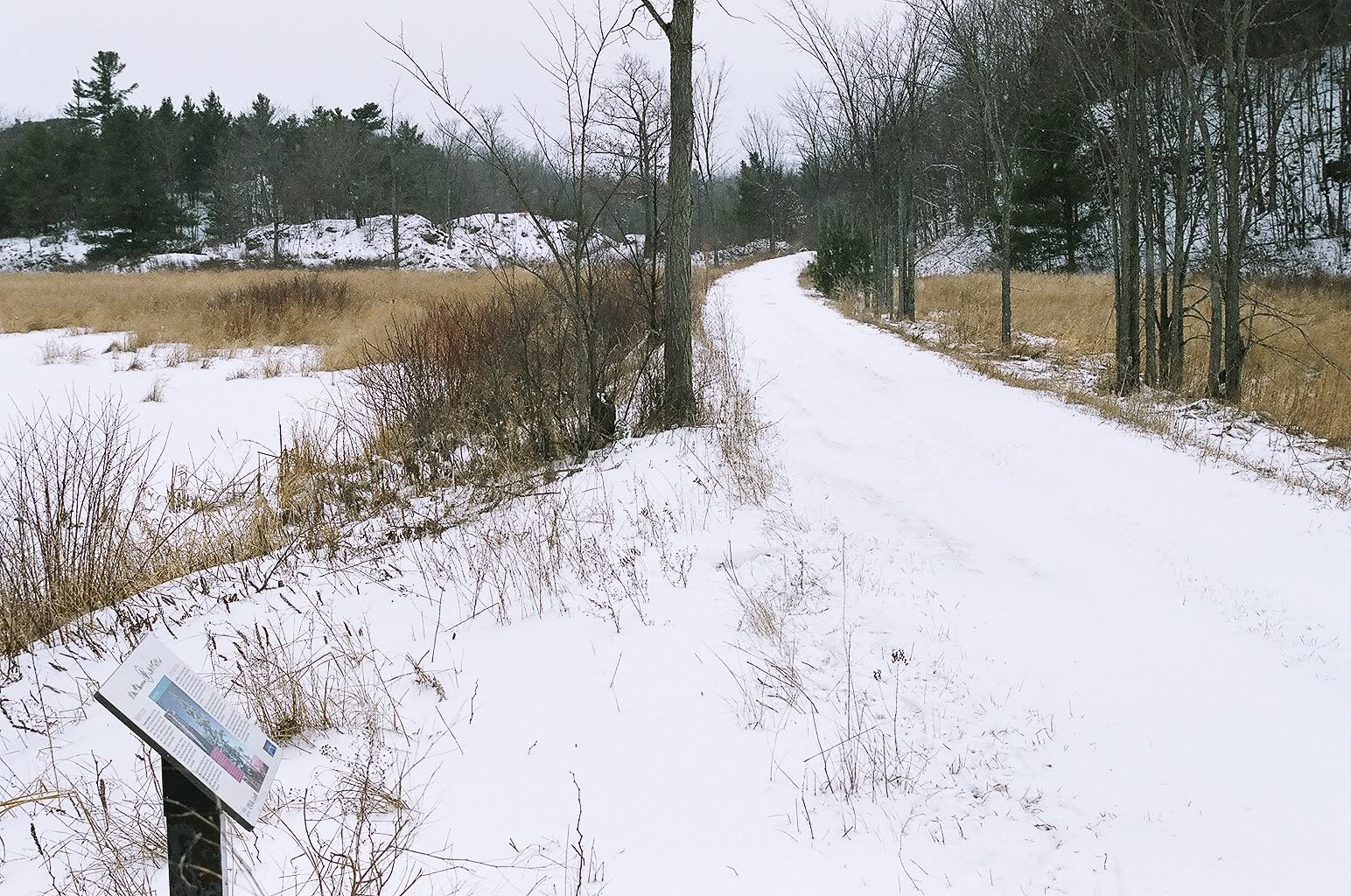
Kettle Valley - 07 March 2008
Remember, these images came from a throw-away box camera. It took me far too long to use up the roll.
For the record, the right-of-way through the tunnels and under the dead fall is too dangerous to be a formal part of the Trans Canada Trail.


Thursday, November 15, 2007
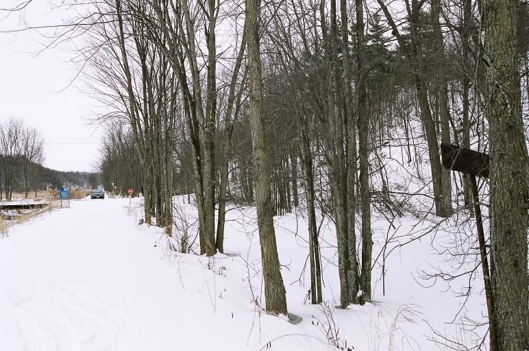
Nashwaak subdivision

Tormentine subdivision
1886 - 1989
Sackville

Saturday, November 10, 2007
Port aux Basques subdivision


Sunday, June 03, 2007
St John's branch
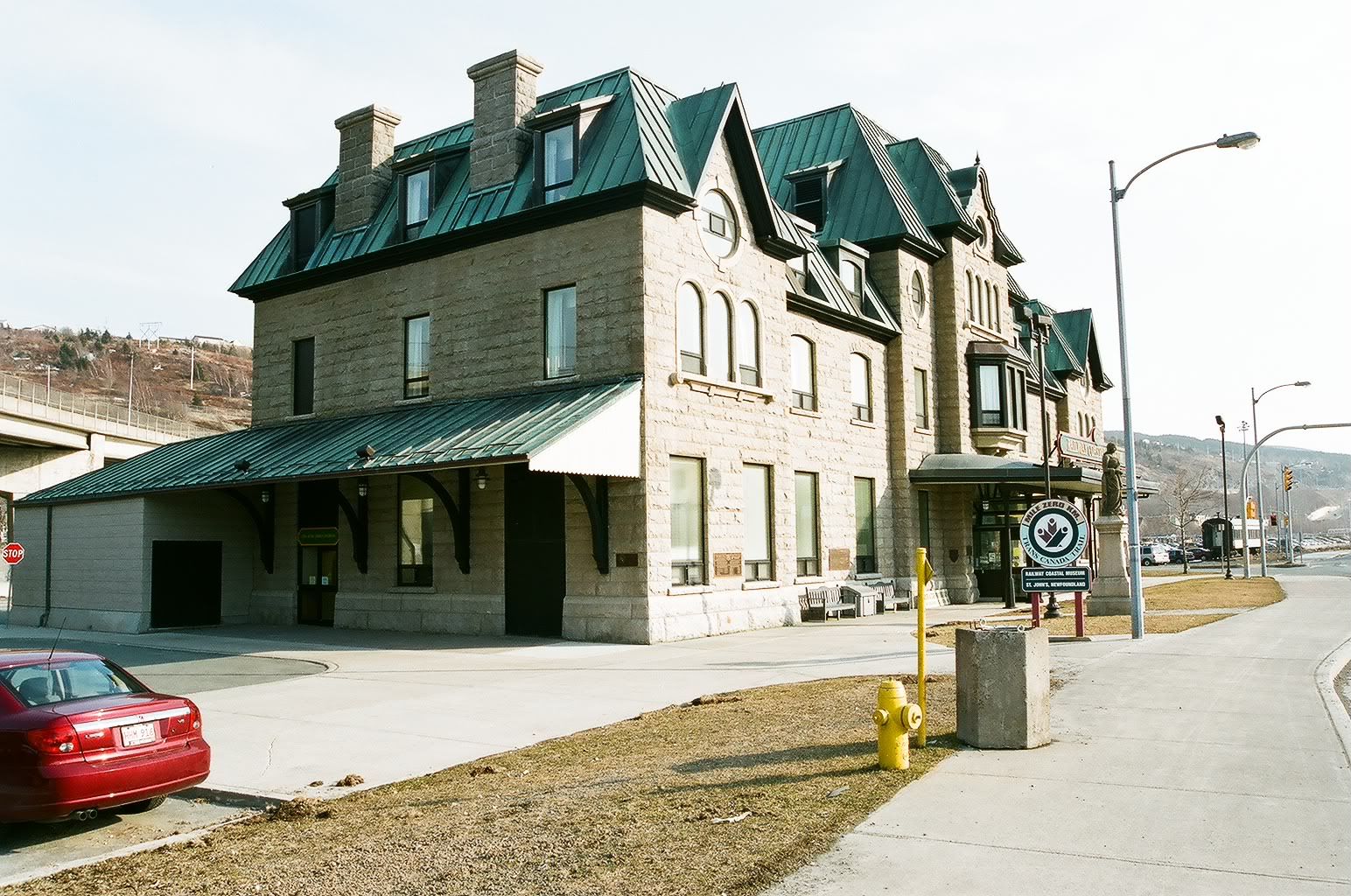
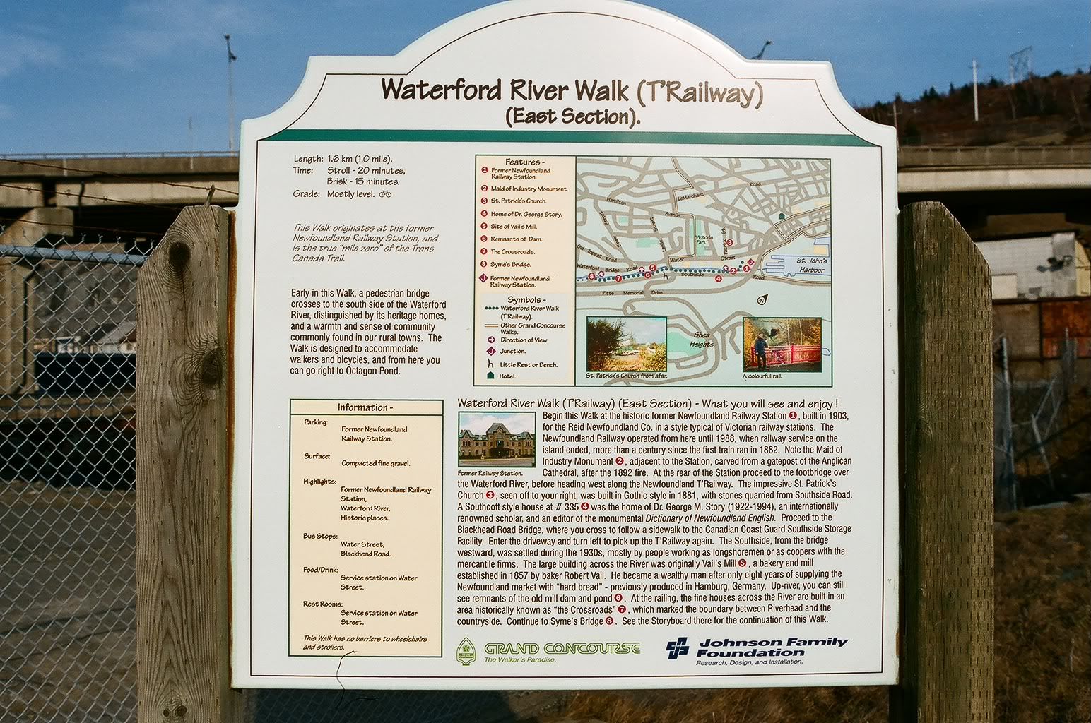
This is St John's railway station and mile zero of the Trans Canada Trail and of the St John's branch of the Newfoundland railway. This also the end of the Newfoudland T'Railway provincial park.
Bowring Park
Kenmount Road
Holyrood
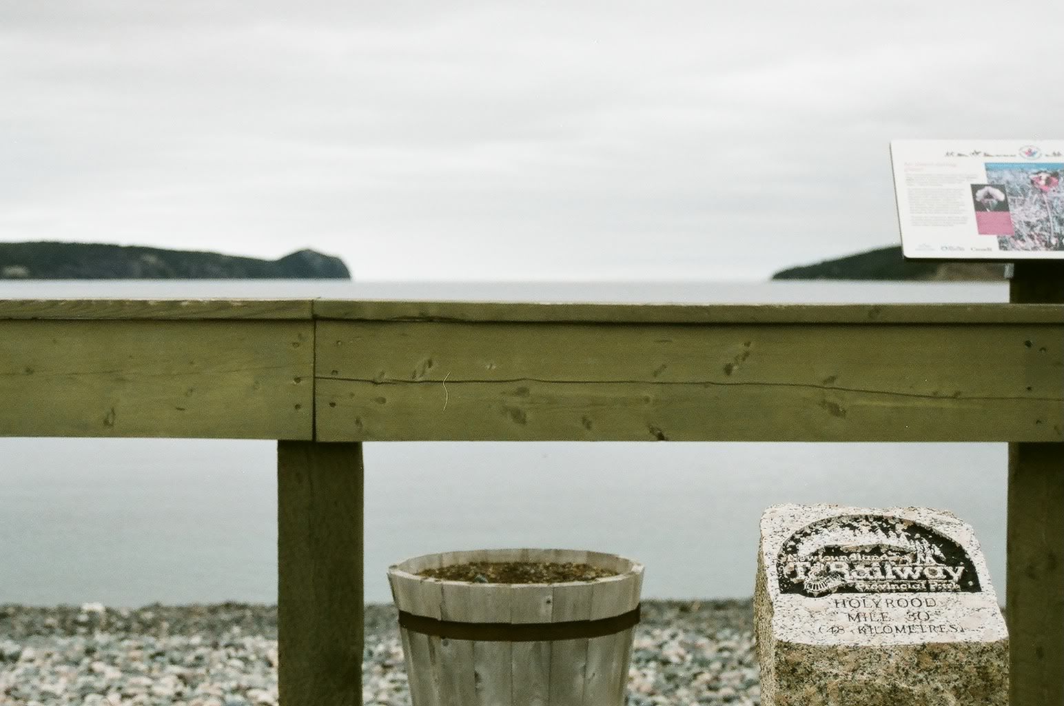
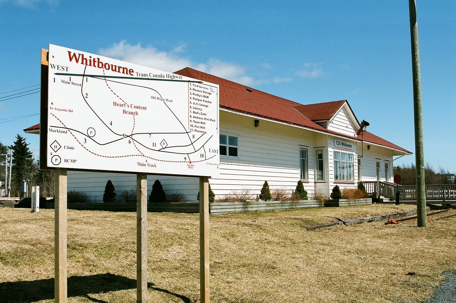
Whitbourne
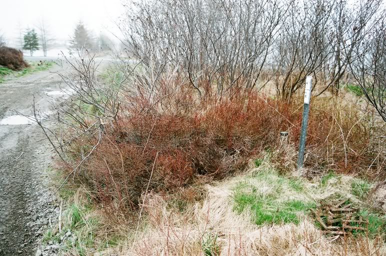
Stash of spikes beside survey marker west of Whitbourne
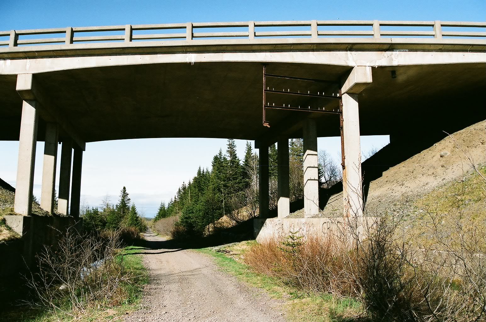
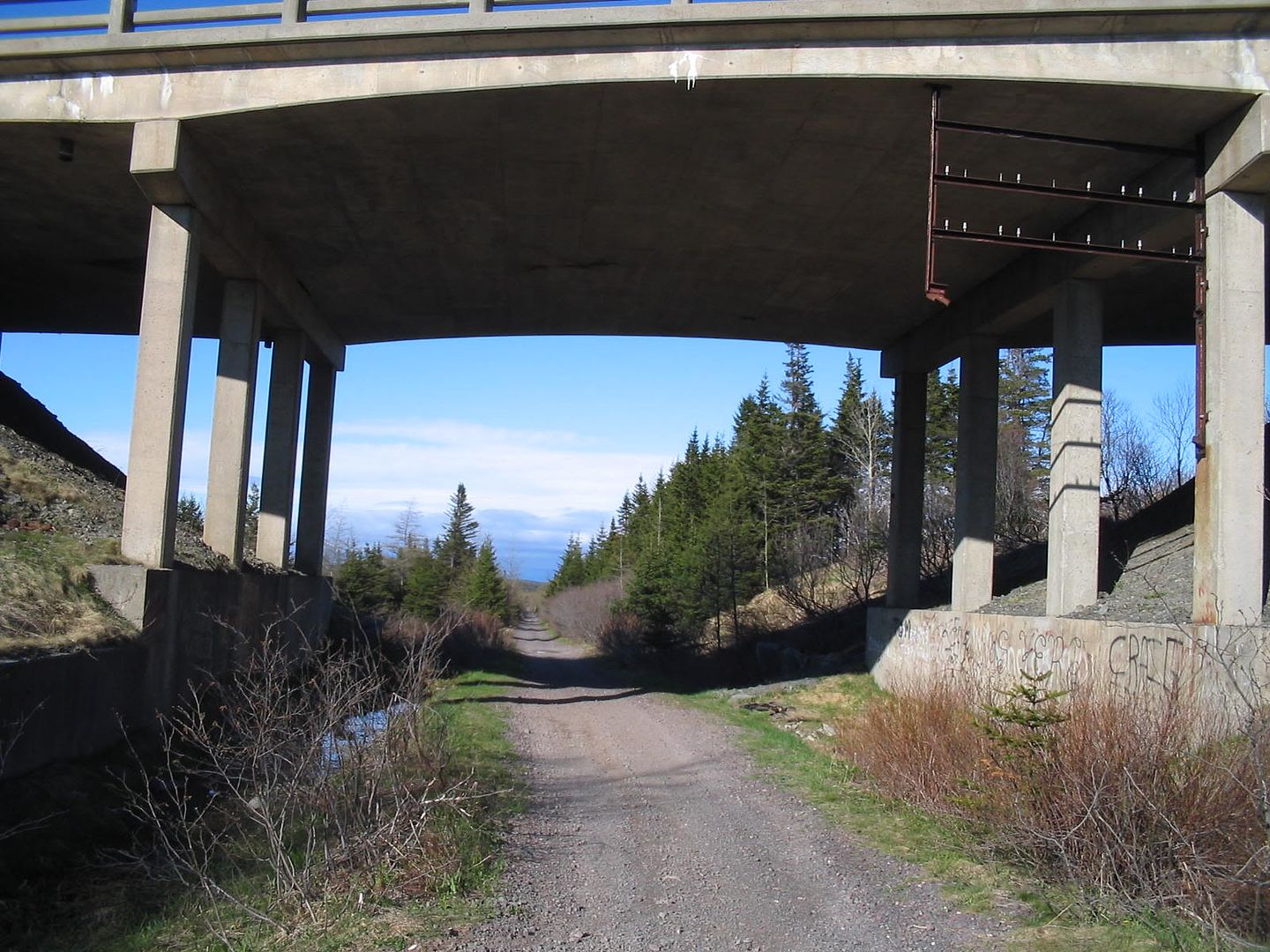
Insulator board under highway to Placentia
Friday, June 01, 2007
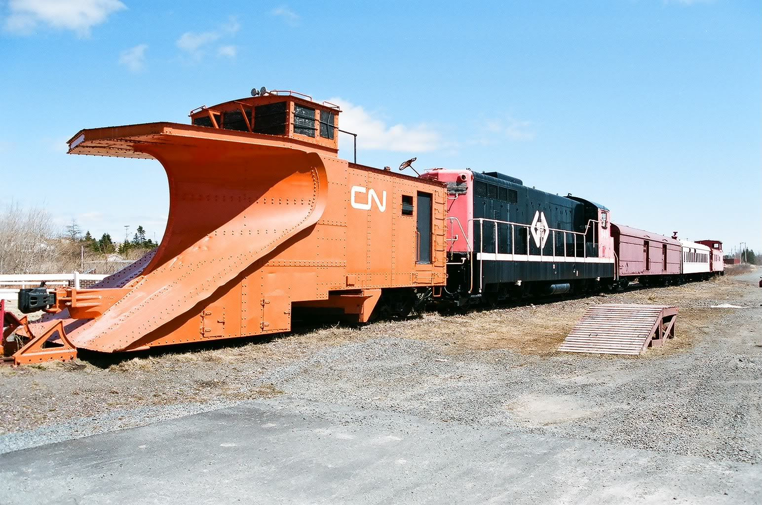
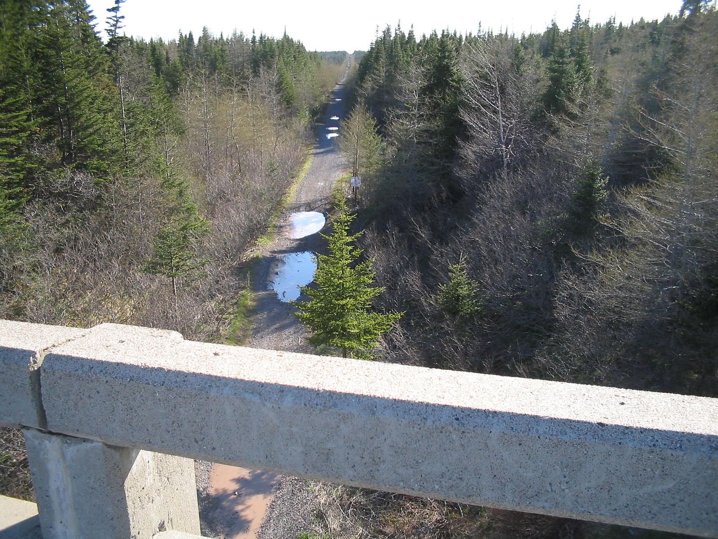
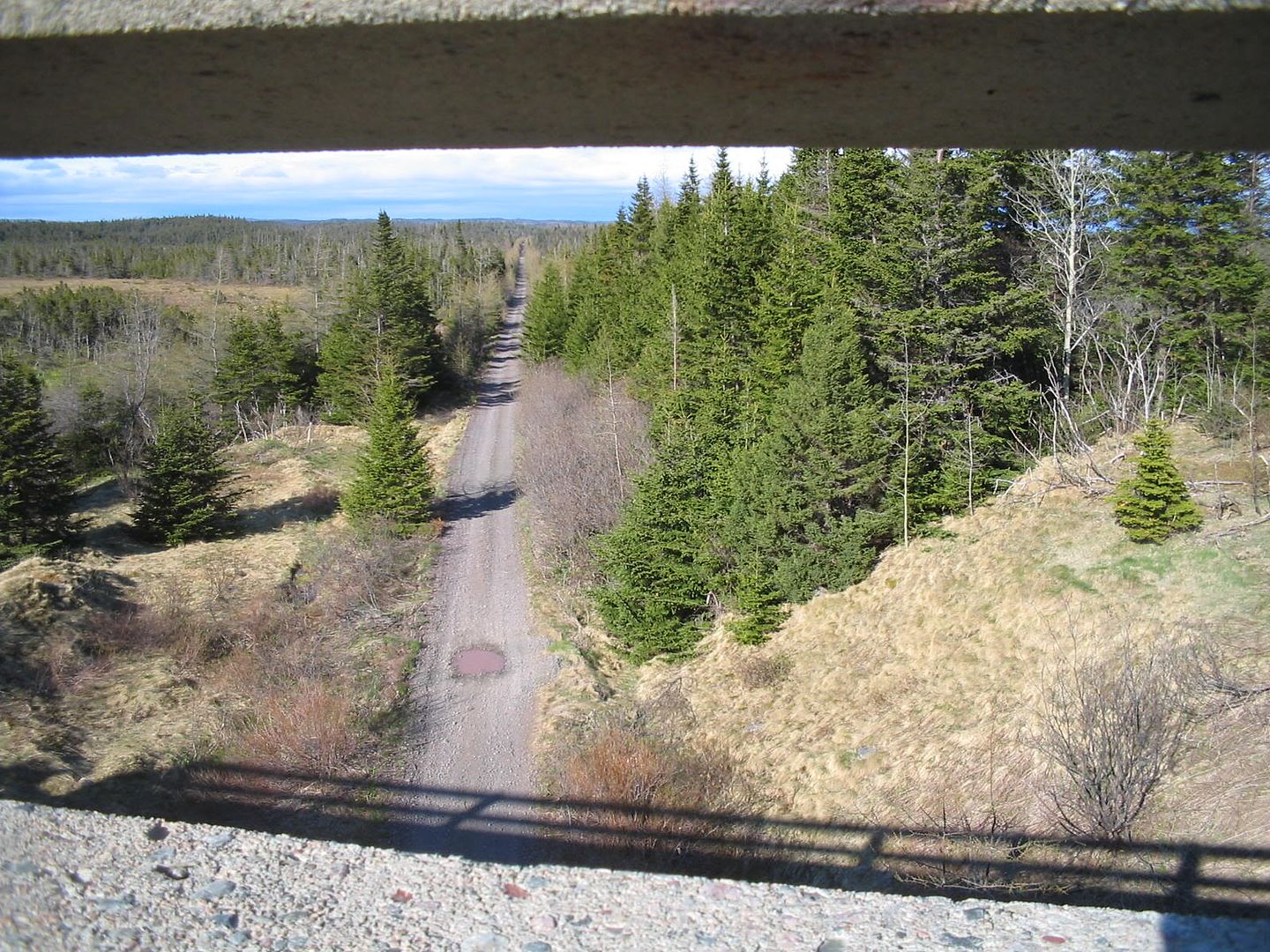
Whitbourne branch
I've now hiked the Whitbourne branch of the Reid Newfoundland railway from the Whitbourne station (and the junction with the Heart's Content branch) through to the crossing under route 100 (road to Placentia) and the 1967 overpass.
Sunday, May 13, 2007
Smiths Falls sub 2
Saturday 17 March 2007
Thanks Mom!
Rideau Trail kilometres 67.4-76.1 Opinicon
The second adventure of the day began where the former CN Smiths Falls subdivision crosses MacGillivray Road. I headed towards Ottawa, turning south off the rail embankment after 3.5k. Here in quick succession, the trail climbs two nasty descent-ascents, meaning the hiker gets a bad scare in both directions. The next 30 minutes brought more such dangers. I have orienteered in greater danger but not after hours of carrying a heavy pack on weary legs. The descents should have had more mention in the guidebook. Take the blue trail, staying on the rail bed, Cataraqui Trail, Trans Canada Trail.
By the time I got to the intersection with the Upper Rock Lake Side Trail (visited a year ago), I had had enough of that segment of the RT forever. I took the blue side trail to Opinicon Road, took off the snowshoes and walked the 7k (68:23) to the trail junction with Maple Leaf Road. This walk on pavement is included in the average heart rate but not in the time & distance data here. I was in zone 3 for 58:02.
The only problem with the long walk is that I had to visit the same stretch of trail and same loud dogs that I visited in March '04.
Archives
April 2006 May 2006 June 2006 September 2006 May 2007 June 2007 November 2007 July 2008
![]()