TCTrail
Previous Posts
Friday, May 26, 2006
Carleton Place subdivision
The Canada Central Railway built a broad-gauge line from Ottawa West to Carleton Place by the end of 1870. It would be ten years before the conversion to standard-gauge tracks and then takeover by the Canadian Pacific Railway. The depot in Ottawa West (then known as Chaudiere) was located on Broad Street, only a few blocks from today's O-Train station at Bayview (OCTranspo 2006).
The OCTranspo bus dedicated transitway between Bayview Road and just past Roosevelt Avenue (location of the former Westboro CPR station) was constructed in a cut under the right-of-way which had been abandoned by 1982.
Beyond the western fringe of the Ottawa Parkway, a bike trail occupies the right-of-way through to Acres Road where the trail turns west on the former Renfrew subdivision. This bike trail hosts the Rideau Trail and the Trans Canada Trail, passing the locations of former stations at Britannia and Graham Bay. The right-of-way east of the crossing of the Beachburg subdivision had been abandoned by 1967. West of the junctions with the Beachburg subdivision (Bells Junction), the Trans Canada Trail rejoins the Carleton Place subdivision.
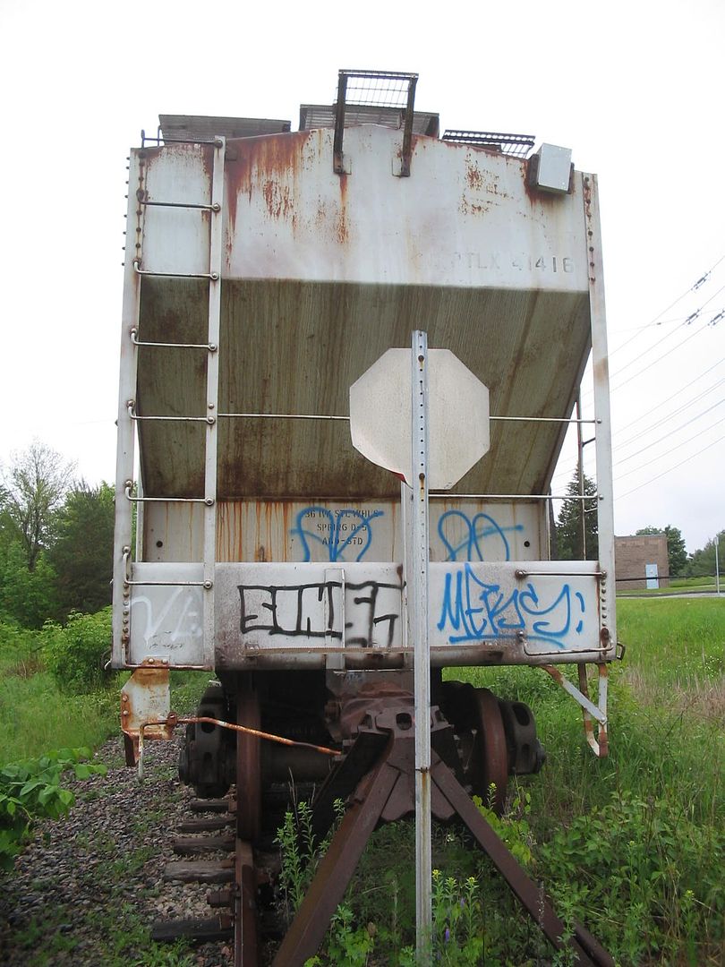
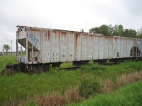
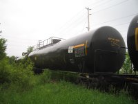
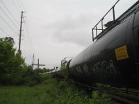
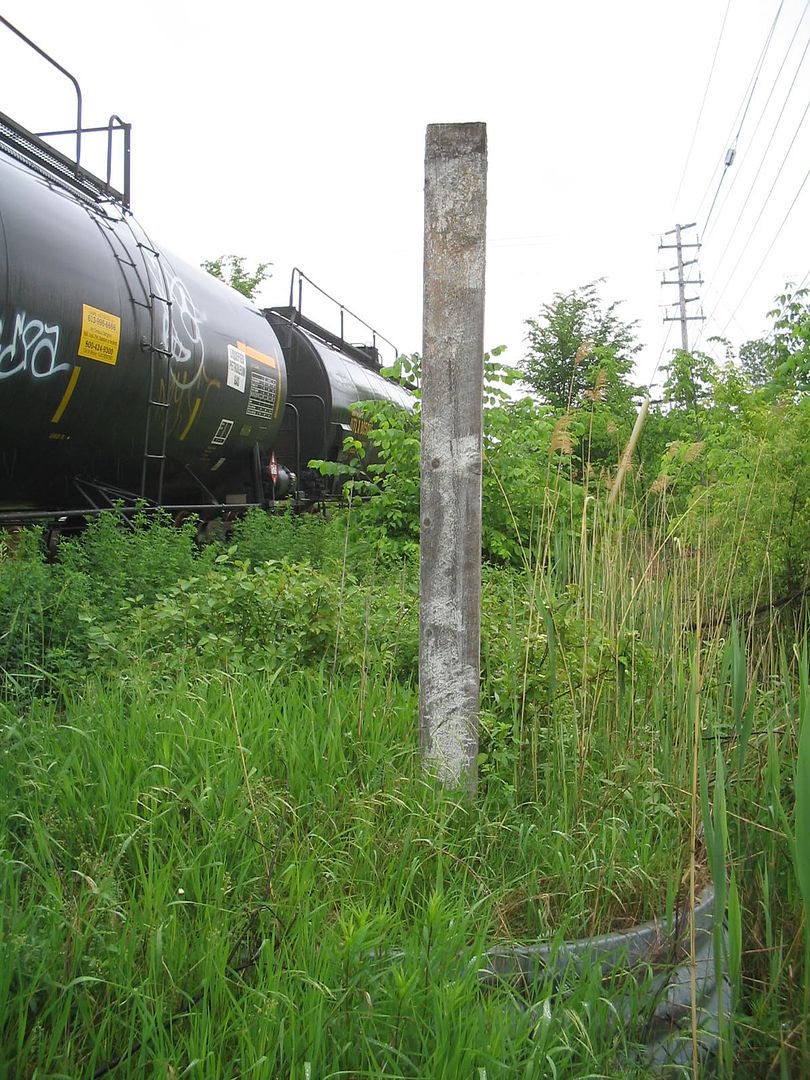
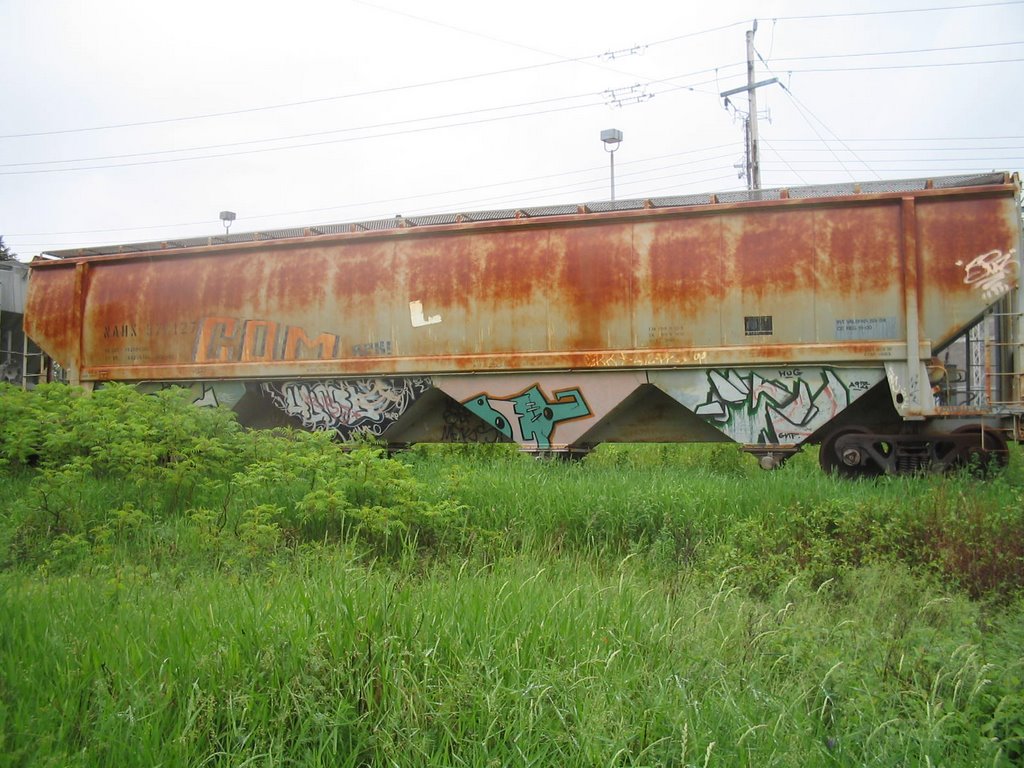
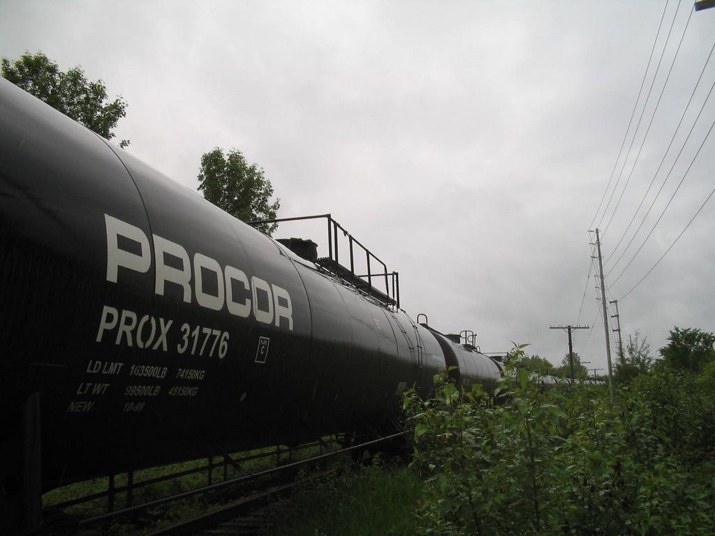
The only remnant of rail on the Carleton Place subdivision is a runt of track at what was once the crossing of the Beachburg subdivision (Bells Jct). This curving connecting track to the Beachburg sub contains more than twenty resting cars of various industrial types (June 2006). This connecting track has existed since the Ottawa side of the Carleton Place sub was abandoned in 1967.


The Ottawa-Carleton Trailway (and the Trans Canada Trail) occupy the rail bed from behind Fitzgerald Road in Bells Corners through to Carleton Place. This portion of the line had not been abandoned until 1990. HISTORY OF THE LINE A track from Ottawa to Carleton Place was built by the Canada Central Railway Company, opened to traffic in 1870 and became part of the Canadian Pacific system when CP took over the Canada Central Railway Company in 1881. The track between mile points 1.4 and 8.1 was ordered abandoned in 1967 by the Board of Transport Commissioners Order No. 125356; trackage from mile point 0.84 to 1.4 was abandoned in 1970 by Order No. R-9675 of the RTC of the CTC. LOCATION OF THE LINE A map of the area is attached. The Carleton Place Subdivision is located in and to the west of Ottawa, Ontario. The subdivision commences at Bells Junction at mile 7.5 in the Ottawa suburb of Nepean and runs westward to a point near Carleton Place, (Mileage 28.1) where it connects with the CP Chalk River Subdivision. The stations located on the line are Stittsville, Ashton and Carleton Place. CONDITION OF THE TRACK Generally, the track can be described as in good condition. All of the rail is 100 lbs type of which approximately 18.7 miles were rolled and laid in 1975. The remainder of the rail was rolled in 1929 and laid in 1930. The ties are treated softwood and are in fair condition. The ballast is crushed rock. The drainage is regarded as adequate. The permissible speed is restricted to a maximum of 75 miles per hour for passenger trains and 45 miles per hour for freight train operations. SERVICES ON THE BRANCH LINE VIA Rail Canada Inc. (hereinafter VIA) operates a passenger train service daily on this Subdivision. Its train "The Canadian" uses this branch line as part of its transcontinental route. The train has scheduled stops once each day westbound and eastbound at Ottawa and Carleton Place. In contrast, freight train service is only available "as and when required" due to the absence of demand for this service. CARLOAD TRAFFIC Carload traffic has been nearly non-existent over the past four years...


The Ottawa-Carleton Trailway (and the Trans Canada Trail) occupy the rail bed from behind Fitzgerald Road in Bells Corners through to Carleton Place. This portion of the line had not been abandoned until 1990. HISTORY OF THE LINE A track from Ottawa to Carleton Place was built by the Canada Central Railway Company, opened to traffic in 1870 and became part of the Canadian Pacific system when CP took over the Canada Central Railway Company in 1881. The track between mile points 1.4 and 8.1 was ordered abandoned in 1967 by the Board of Transport Commissioners Order No. 125356; trackage from mile point 0.84 to 1.4 was abandoned in 1970 by Order No. R-9675 of the RTC of the CTC. LOCATION OF THE LINE A map of the area is attached. The Carleton Place Subdivision is located in and to the west of Ottawa, Ontario. The subdivision commences at Bells Junction at mile 7.5 in the Ottawa suburb of Nepean and runs westward to a point near Carleton Place, (Mileage 28.1) where it connects with the CP Chalk River Subdivision. The stations located on the line are Stittsville, Ashton and Carleton Place. CONDITION OF THE TRACK Generally, the track can be described as in good condition. All of the rail is 100 lbs type of which approximately 18.7 miles were rolled and laid in 1975. The remainder of the rail was rolled in 1929 and laid in 1930. The ties are treated softwood and are in fair condition. The ballast is crushed rock. The drainage is regarded as adequate. The permissible speed is restricted to a maximum of 75 miles per hour for passenger trains and 45 miles per hour for freight train operations. SERVICES ON THE BRANCH LINE VIA Rail Canada Inc. (hereinafter VIA) operates a passenger train service daily on this Subdivision. Its train "The Canadian" uses this branch line as part of its transcontinental route. The train has scheduled stops once each day westbound and eastbound at Ottawa and Carleton Place. In contrast, freight train service is only available "as and when required" due to the absence of demand for this service. CARLOAD TRAFFIC Carload traffic has been nearly non-existent over the past four years...
posted by elyob_ragad # 12:09 AM 
Archives
April 2006 May 2006 June 2006 September 2006 May 2007 June 2007 November 2007 July 2008
![]()